|
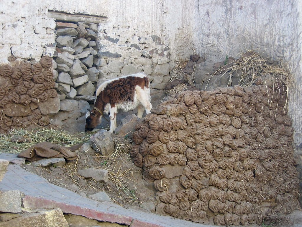 |
| Cown shit | |
| Latitude: N 28°55'16,33" | Longitude: E 89°35'49,12" | Altitude: 4019 metres | Location: Zhayu | City: Gyangzê | State/Province: Tibet Autonomous Region | Country: China | Copyright: Marjolijn Michels | See map | |
| Total images: 23 | Help | |
|
|
|
| Cown shit | |
| Latitude: N 28°55'16,33" | Longitude: E 89°35'49,12" | Altitude: 4019 metres | Location: Zhayu | City: Gyangzê | State/Province: Tibet Autonomous Region | Country: China | Copyright: Marjolijn Michels | See map | |
| Total images: 23 | Help | |